Olive groves
See the land. Rebuild it as a virtual grove. Train a robot there.
Each of these can stand alone: consulting for farmers, a digital twin, and robot training.
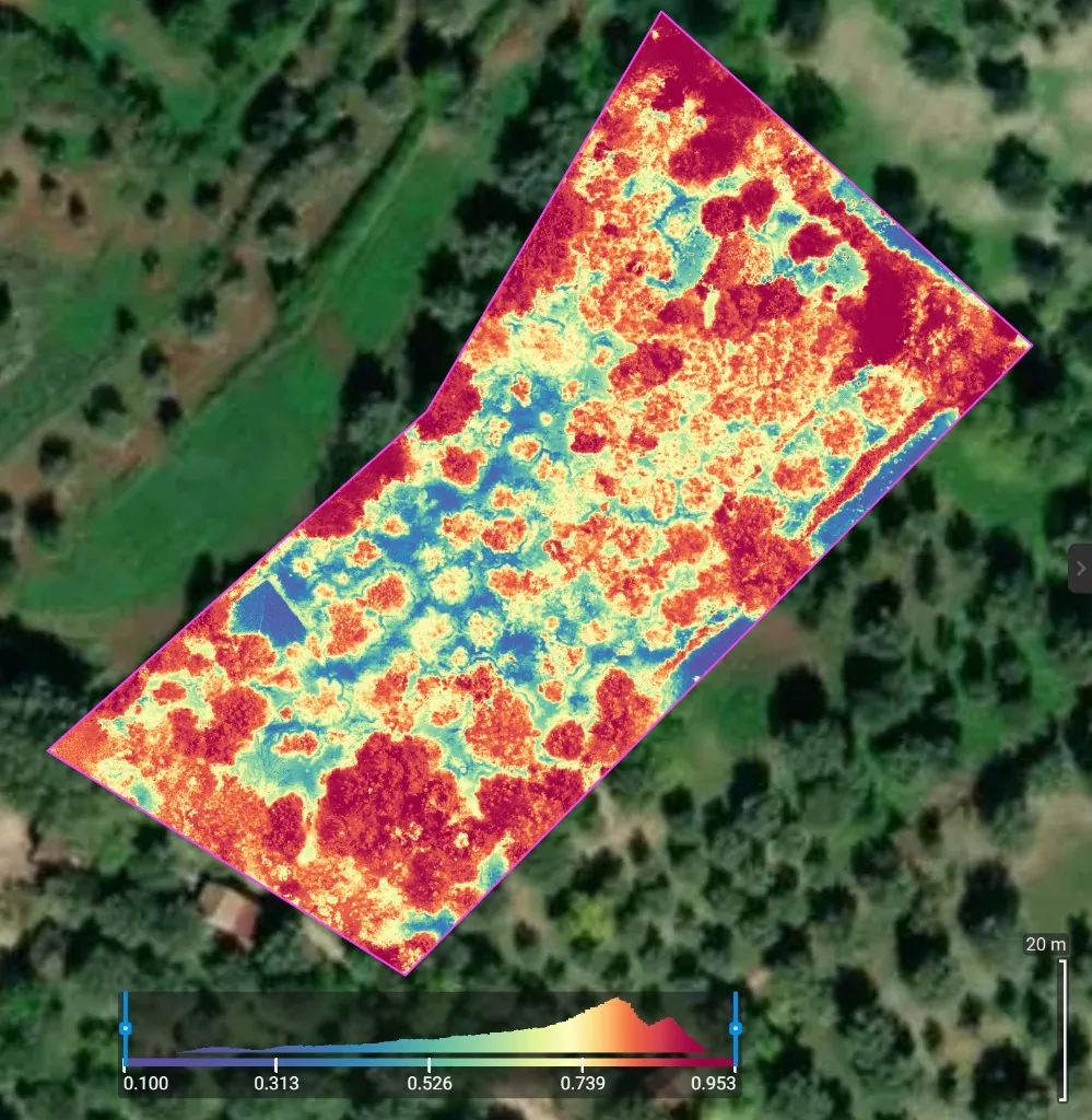
Satellite data, to watch the land
A standing view of the grove: which trees are vigorous, which rows are dry, how that changes through the season. Sentinel-2 is the public European source. We turn it into a map a grower or a robot can use.
Drone imagery, rebuilt as a virtual grove
A flight over the trees, then a 3D reconstruction. That mesh becomes the environment in a physics engine, so a robot can practice the grove before anyone takes it outside.
Train an open robot for the work
Unitree, PAL Robotics, or another open platform, practiced in the virtual grove. Gibbon Bot is our own research robot, separate from this.
Contact
Email services@olivabot.com.